Interactive 3D Ski Map
Creation of an Interactive 3D Ski Map to Enhance Navigation and User Experience at the SkiWelt Resort
Summary
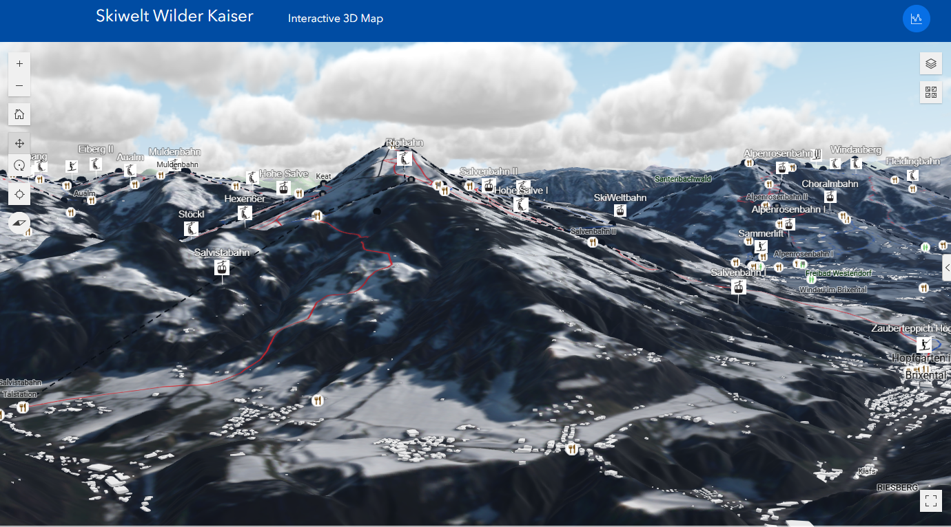
The SkiWelt 3D Skimap project addresses the confusion that can arise from traditional 2D maps in large ski resorts by developing an interactive, browser-based 3D map for the SkiWelt resort. The primary goal is to provide a more intuitive way for skiers to navigate, access useful information through pop-ups, and ultimately enhance both the user experience and safety by preventing skiers from getting lost.
Key Points
Data Acquisition & Preparation: Data for ski lifts, slopes, restaurants, and toilets was primarily sourced from OpenStreetMap and OpenSnowMap.org. A 5m Digital Terrain Model (DTM) of Tirol was used for elevation data, and a Sentinel-2 orthophoto provided the winter-themed basemap. This data was then processed and prepared using ArcGIS Pro.

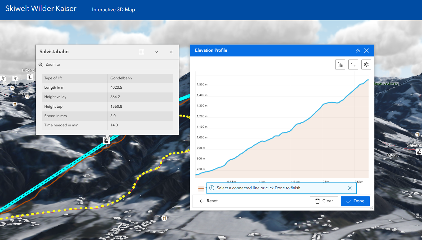
3D Visualization and Web Application: The prepared data was published to ArcGIS Online and then visualized using the ArcGIS Scene Viewer to create the 3D map. The final interactive web application was built with the ArcGIS Experience Builder, which allows for the inclusion of widgets like elevation profiles and layer controls.
Interactive Features: The resulting webmap allows users to change their viewing perspective, click on features to get more information (like slope length and estimated time), and view elevation profiles. When used on a smartphone, it can also display the user’s current location to aid navigation.


Link to webmap: Skimap 3D
Full documentation: